EigenRisk issued the following announcement on August 20.
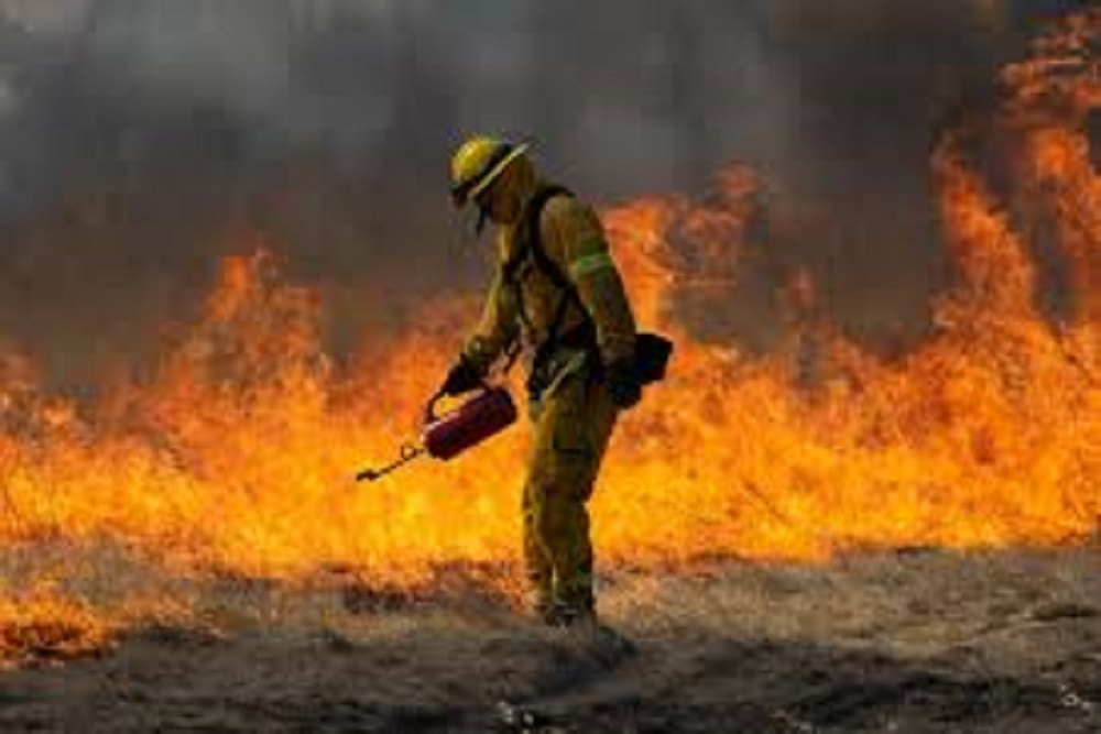
Wildfires, many caused by lightning strikes during California’s heat wave, are moving rapidly towards populated areas. More than 300,000 acres have already been burned, according to estimates from the California Department of Forestry and Fire Protection (Cal Fire).
CalFire also advised that evacuation orders have been issued in northern California where the LNU Lightning Complex Fire consists of at least eight separate fires that are impacting the areas of Solano, Sonoma, and Napa counties.
Wildfire proximity maps provide the proximity of any location to the current perimeter of an active wildfire, and are useful as an early warning to surface exposure in the vicinity of wildfires. Proximity maps are available in EigenPrism for both the state and for individual wildfires.
Original source here.


 Alerts Sign-up